WHAT LANDFORMS ARE IN THE INTERIOR OF THE MESETA?
 |
| The Meseta |
The Meseta is a vast plateau expanding 400 000 km2 that occupies most of the Iberian Peninsula.
The Meseta slopes towards the west. The rivers that cross the Meseta, like the Duero, the Tajo and the Guadiana, flow into the Atlantic Ocean.
 |
| Duero |

 |
| Guadiana |
There are two mountain systems inside the Meseta.

• The Central System divides the Meseta in two; the northern sub-plateau and the southern sub-plateau. This mountain system is approximately 600 km long.
 |
| Central System |
• The Toledo Montains separate the Guadiana Valley and the Tajo Valley. This
mountain system is approximately 350 km long.
 |
| Toledo Mountains |

• On the north-west edge, the Mountains of León separate Castilla y León from Galicia.
 |
| Mountains of León |
• On the northern edge, the Cantabrian Range runs parallel to the coast.
 |
| Cantabrian Range |
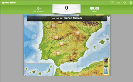
• On the eastern edge, the Iberian System divides the Meseta from the
Ebro River Valley.
 |
| Iberian System |
• On the southern edge, the Sierra Morena divides the Meseta from the
Guadalquivir River Valley.
 |
| Sierra Morena |


No hay comentarios:
Publicar un comentario
Nota: solo los miembros de este blog pueden publicar comentarios.